Nebraska March 2003: The Lakes
This is the entrance to the Yankee Hill Wildlife Management Area (a big park surrounding a lake).
![]()
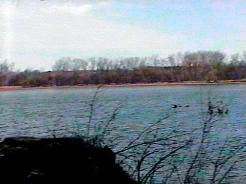
This is the lake. It was disappointing because the water level was so low.
Some of these pictures have a pink color in them; I don't know where it came from and it shouldn't
be there.
![]()
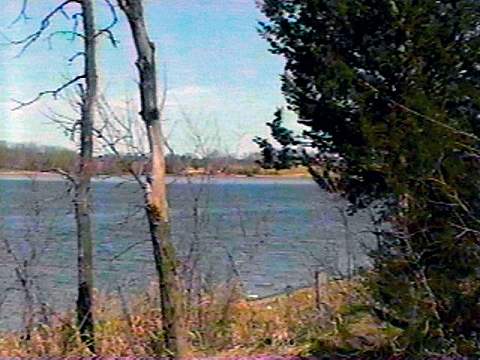
This is another view of the lake. The black area in front of the water is where the water should be up to.
![]()
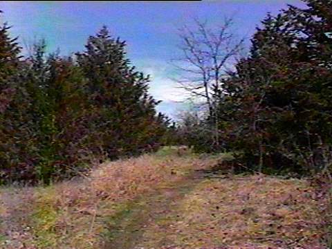
This is the path from the lake back to the street.
![]()
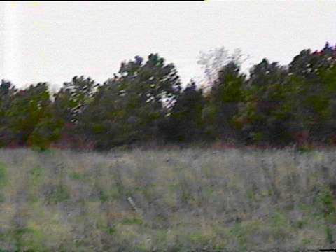
I wandered off the path, back into a field toward the trees. It looked like there might have been a path through the field -- but I soon found out it wasn't really a path.
![]()
That's the end of the pictures from my walk to Yankee Hill Lake.
Now here are the pictures from my walk to Conestoga Lake, in the opposite direction!
![]()
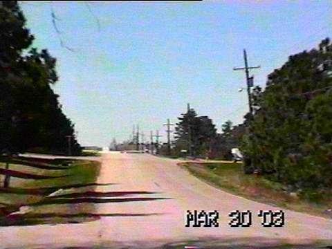
This is a picture on the way to Conestoga Lake (while I was still in civilization).
![]()
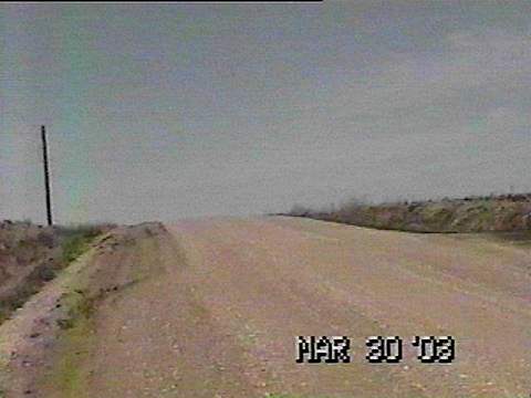
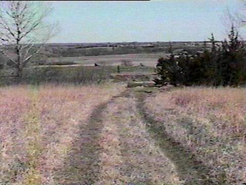
Here is where the way to Conestoga Lake leaves civilization for the wide open spaces.
![]()
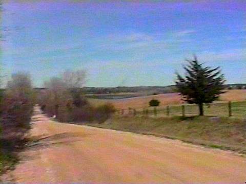
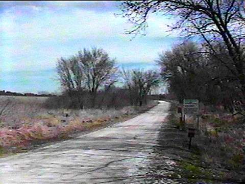
This road goes on like this for about a mile or so. (It isn't really this pink.)
![]()
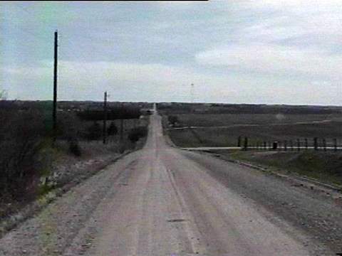
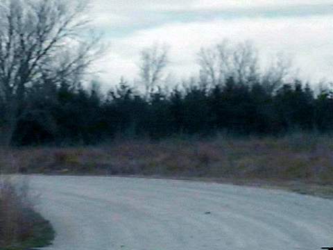
The Hills of Nebraska. Most of the way, the road is very, very hilly, like this.
![]()
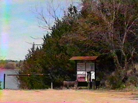
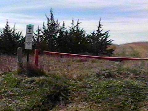
This is where the street ends and the paths to the lake and campgrounds start.
![]()
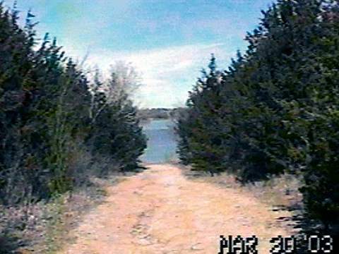
This is the view of the lake through the trees along the path. The first time I walked here, this was nothing but deep mud, but it wasn't so bad this time.
![]()
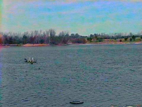
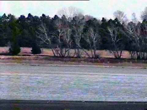
Conestoga Lake. This doesn't look much like Nebraska to me.
![]()
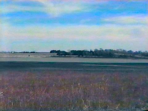
Another view of the lake.
![]()
Another view of the lake.
![]()
This is one of the nature trails around Conestoga Lake. This was as far into it as I went.
![]()
This is the beginning of the Wildlife Management Area that I walked all the was through with a couple of the guys a few weeks earlier.
![]()
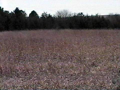
This is inside that area. I walked all the way back to the trees through the weeds, but it's only two rows of trees with nothing else behind them.
![]()
This is what the path through the Wildlife Management Area looks like. It is very long.
![]()
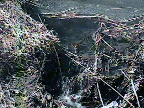
When I got back, I kept on walking past Denton. This is a cute little 'waterfall' seen off the side of a bridge on the street.
![]()
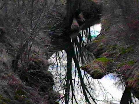
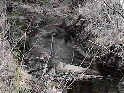
This is the creek between the water in the previous picture and Haines Branch, which runs under W. Denton Road. I don't know what the name of it is -- yet.
![]()
Here's what Haines Branch looks like these days, from the bridge on W. Denton Road.
![]()
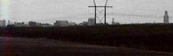
And we finish off with the view of the Lincoln skyline.
![]()
First page of pictures from Nebraska
A few pictures I drew while I was in Nebraska
![]()